Pangasinan
is a province of the Republic of the Philippines. The provincial capital is Lingayen. Pangasinan is located on the west central area of the island of Luzon along the Lingayen Gulf, with the total land area being 5,368.82 square kilometers (3336.030 sq mi). According to the latest census, it has a population of 2,645,395 people in 477,819 households. The total population is projected to rise to 3,039,500 in 2010. According to the 2007 Philippine general elections, Pangasinan has a voting population of 1,360,807, which is the second highest in the Philippines.
The Pangasinan language is the primary language in Pangasinan. The estimated population of the indigenous speakers of this language is about 1.5 million.
The name Pangasinan means "land of salt" or "place of salt-making"; it is derived from the root word asin, meaning "salt” in the Pangasinan language and other related languages. The province is a major producer of salt in the Philippines.
An ancient kingdom called Luyag na Kaboloan existed in Pangasinan before the Spanish conquest that began in the 15th century. The maritime trade network that once flourished in ancient Southeast Asia connected Pangasinan with other peoples of Southeast Asia, India, China, and the Pacific.
Pangasinan occupies a strategic geo-political position in the central plain of Luzon, known as the rice granary of the Philippines. Pangasinan has been described as a gateway to northern Luzon and as the heartland of the Philippines.
(Wikipedia)
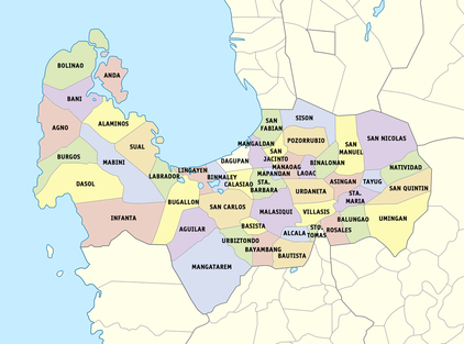
This is the map of Pangasinan. It is a province of the Republic of the Philippines and is located in the Ilocos Region. It is subdivided into 6 congressional districts, 4 cities and 44 municipalities. Lingayen is the provincial capital. It is located in the west central area of the island of Luzon along the Lingayen Gulf. Pangasinan borders La Union and Benguet to the north, Nueva Vizcaya and Nueva Ecija to the east, and Zambales and Tarlac to the south. To the west of Panagsinan is the South China Sea.
Here are some destinations if you want to visit Pangasinan:
(Kitaen yo man, nagpintas nga talaga ti Pangasinan, kasla siyak lang. <3)
THE DELICACIES OF PANGASINAN
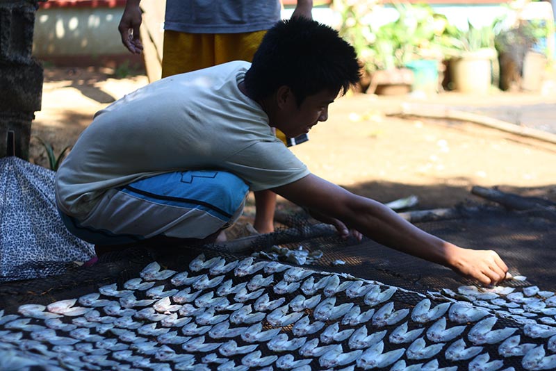
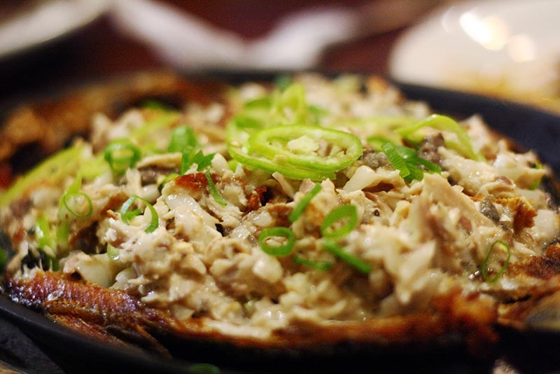
Danggit Pigar-pigar
Municipality: Bolinao Municipality: Dagupan
Municipality: Bolinao Municipality: Dagupan
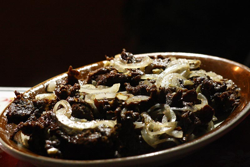
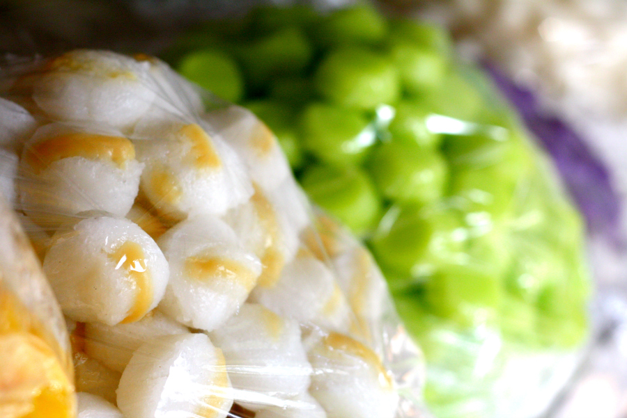
Tupig Bangus (and other seafood, too)
Municipality: Villasis Municipality: All
Municipality: Villasis Municipality: All
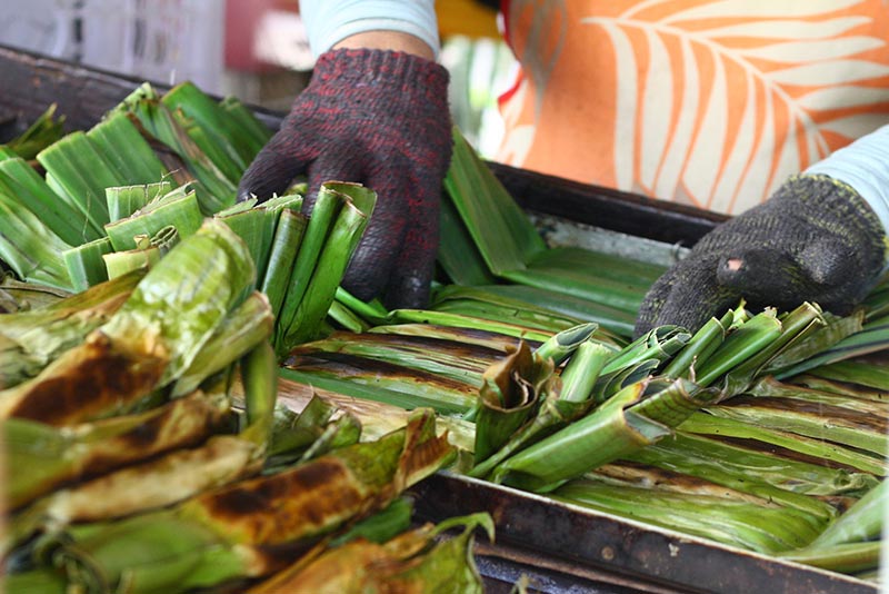
Puto Calasiao
Municipality: Calasiao
Municipality: Calasiao
